Updated flood mapping and policies to better protect South Australians
Published Thursday, 21 May 2026
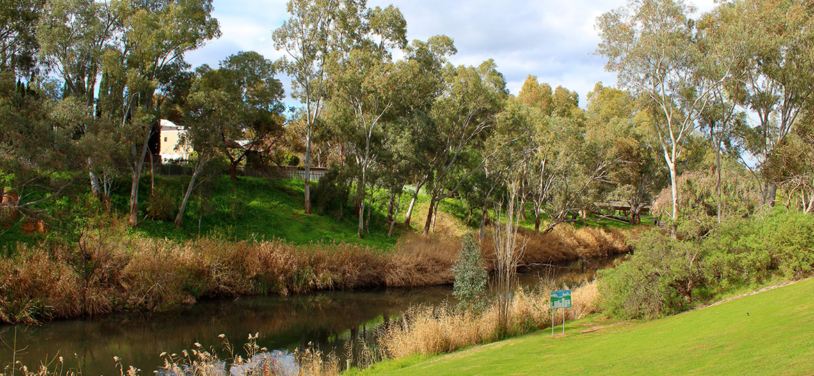
The South Australian Government is updating flood hazard mapping and planning rules to better protect South Australians and their homes from flooding now and into the future.
The draft State-Wide Flood Hazard Code Amendment proposes to update flood hazard mapping, which limits buildings in high-risk areas and ensures developments in lower risk areas are more flood-resilient.
This includes avoiding vulnerable land uses, such as aged care facilities, hospitals and schools in areas where there is a high flood risk.
The updated mapping is based on modelled flooding conditions to 2050, factoring in projected climate conditions and future development growth.
The proposed changes seek to update terminology to ensure consistent wording, improve clarity for development assessment, and align planning rules with national guidelines for natural hazards, including those from the Australian Institute for Disaster Resilience.
Importantly, the draft mapping proposes to remove flood related planning requirements from more than 280,000 properties where precautionary measures are no longer considered necessary, saving time and costs for developing in these areas.
Planning rules covering flood hazards along the River Murray and coastal areas are in separate overlays and are not being changed through this code amendment.
The code amendment is the final stage of the Flood Hazard Mapping and Assessment Project, which delivered the Flooding Hazards Mapping Update Code Amendment and commissioned updated flood studies, statewide.
More information is available on the draft code amendment, and community feedback is welcome via the YourSAy website.