Limestone Coast Transport Study
Fast facts

Status
Planning underway

Location
Limestone Coast
The Limestone Coast Transport Study will be focused on the south-east region of South Australia and includes the local government areas, whole or in part, of Tatiara, Kingston, Robe, Naracoorte Lucindale, Wattle Range, Grant, and Mount Gambier.
The study seeks to better understand the transport network in this region, including how it is performing, and to identify potential improvements in line with the State’s Transport Strategy.
Study area map
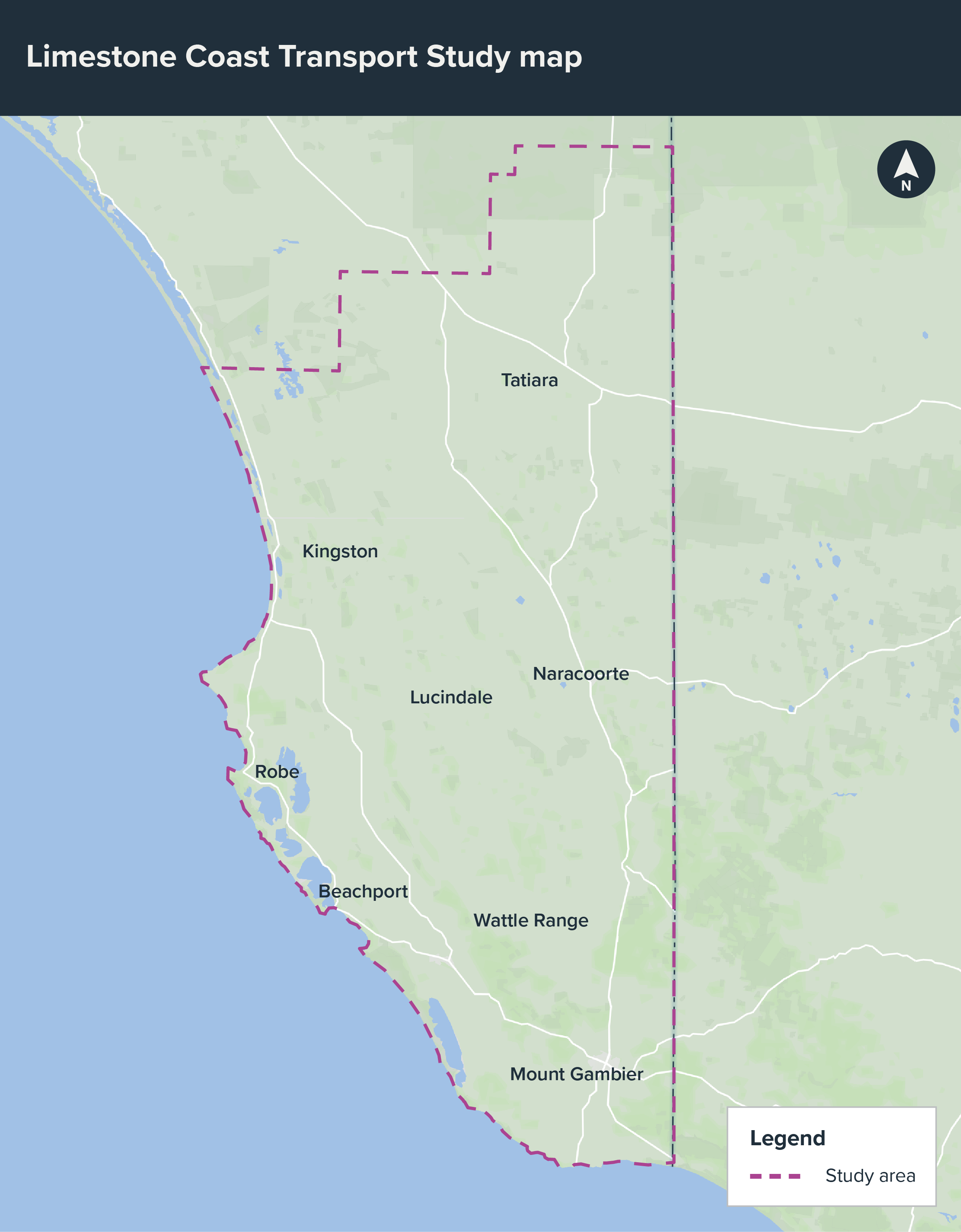
Map showing the investigation area for the Limestone Coast Transport Study.
Why are we undertaking this study?
To ensure that the transport network can support the future needs of the community and enable the region to thrive, the study will consider all regional road users and members of our regional communities , and will explore and evaluate:
- Key transport directions for region, as influenced by anticipated population and economic growth of this region.
- Potential future transport network demand, issues, and constraints.
- Integration of the transport network, with respect to various demands placed on in, for example, balancing freight and general traffic, and the need for decarbonisation.
The study will identify responses and provide recommendations to inform future transport policy and planning for the region, to deliver the State’s Transport Strategy to support connectivity, prosperity, safety, liveability and sustainability and resilience.
The Limestone Coast Transport Study will commence in late 2026 and will be undertaken in parallel with the Murray Mallee Transport Study which will be focused on the adjoining region, including the local government areas, whole or in part, of Murray Bridge, Coorong, Southern Mallee, Mid Murray, Karoonda East Murray, Loxton Waikerie, Renmark Paringa, and Berri Barmera.
Subscribe to project updates
Our privacy statement outlines what information we collect, how we use it and store it.
You can unsubscribe using the link in the email.