
Planning for climate change: how we are working toward a cooler, greener greater Adelaide
From Craig Holden, Chair, State Planning Commission
It’s no secret that South Australia needs to prepare for the changing climate. Increased greenhouse gases cause more frequent and unpredictable weather events, and in recent years, our state has experienced these effects firsthand in the form of droughts, heatwaves, bushfires, and floods.
The good news is that careful planning can help us adapt to and mitigate climate change. The Commission wants to ensure that our planning system helps build resilience to the impacts of climate change and brings us closer to our net zero emissions target. One way we are progressing that goal is through the draft Greater Adelaide Regional Plan (the Plan).
The Plan sets out a long-term vision for greater Adelaide, detailing where people will live and work, how they will move around and where they will access services. It provides data and recommendations for managing growth and adapting to changes in our community and urban environment.
Importantly, the Plan prioritises planning for how we can sustainably prepare for future growth, particularly through creating connected neighbourhoods, the maintenance of green spaces and tree canopies, and environmental sustainability. And from what the community told us during our recent consultation period, we know that preserving our state’s natural resources is high on the priority list for many.
Learn more about what we heard from the community during the Greater Adelaide Regional Plan consultation period.
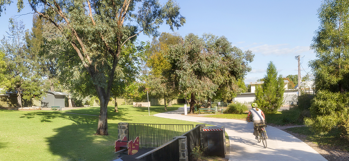
How we’re going green(er)
Our planning system currently protects, enhances and re-establishes biodiversity through several overlays, zone policies, and legislative mechanisms.
To reinforce these policies, the Plan proposes no growth in areas of environmental value, including the Hills Face Zone and Character Preservations Districts.
The Plan also introduces the concept of the “Greater Adelaide Park Lands” that will connect people with nature and plans for new and improved open space in areas with urban renewal and growth. These expanded park lands could include linear greenway parks connecting suburbs, large regional parks serving multiple suburbs, urban forests in existing suburbs and new developments, and protected coastal reserve areas along our beaches.
And to promote greening and biodiversity across the region, the Plan provides direction for the Urban Tree Canopy Overlay to apply to townships and master planned communities, with an ambitious target of increasing tree canopy cover in metro Adelaide from 17 to 30 per cent by 2051.
Climate change and the environment
The Plan aims to create greener, wilder and more climate-resilient communities by ensuring that new growth areas are developed away from areas most at risk of sea level rise, flooding and bushfire. It focuses on establishing communities that can adapt to or mitigate impacts of urban heat.
To achieve this, the Plan proposes four key actions:
- updating coastal hazard mapping, including coastal flooding and storm surge, dune drift, and coastal marshes and mangroves
- amending the Coastal Areas Overlay to incorporate additional guidance for floor levels and flooding sites
- applying the Interface Management Overlay to industry that may benefit from improved policies where new homes will be built nearby
- developing a toolkit to help government and the private sector to take a regenerative approach to planning.
One of our key priorities is the development of more efficient urban form that encourages walking, biking or public transport, which in turn helps reduces CO2 emissions (particularly from vehicle travel). Where growth must occur in a greenfield area, the Plan aims to mitigate environmental concerns by creating growth areas that are well-serviced by public transport and other infrastructure and promoting active travel to reduce the need for car journeys. The concept of “living locally” in walkable, connected neighbourhoods is a key focus.
Risk assessment and planning
Before we can begin developing new land for housing, we need to carefully consider the long-term impacts of climate change on each potential location, particularly sea level rise, coastal erosion, and bushfire risk.
We took a science-based approach to understanding how future climate change will affect Greater Adelaide over the next 30 years and created a methodology for identifying future growth centres in greenfield areas. Our method included a land suitability assessment that considered key planning constraints and environmental risks including flooding, bushfire, significant native vegetation and protected areas.
Then we assessed the various pockets of land available for residential development, examining existing infrastructure, potential liveability, capacity for growth, and environmental impact. This assessment helped us prioritise the most appropriate land for residential growth, even in in-fill areas.
The goal is to use thorough risk assessment to set up robust planning that can help make our city more climate-resilient.
Next steps
We expect to release the final Greater Adelaide Regional Plan in early 2025, after we’ve taken the time to incorporate the feedback and insights we’ve received from the community. Once the Plan is officially released, we look forward to using it to help shape greater Adelaide’s sustainable and healthy growth.
In the meantime, if you’re keen to know more about the work the Commission is doing to plan for climate change, take a look at our website or explore our Planning for Climate Change brochure (PDF, 11.0 MB).